You do not need to own a car to enjoy a full, connected lifestyle in Alexandria. If you are thinking about moving to the city, or simply want a home base that makes daily errands and commuting easier, Alexandria offers a strong mix of rail, buses, trails, and walkable commercial areas. The key is knowing where that transportation network works best and how it shapes everyday life. Let’s dive in.
Why Alexandria Works for Car-Free Living
Alexandria is a compact independent city with about 159,000 residents across just over 15 square miles. The City of Alexandria even publishes a Car-Free Transportation Toolkit, which tells you a lot about how practical this lifestyle can be locally.
That matters because car-free living here is not based on one transit option alone. It is built on layers: Metrorail for regional trips, DASH for local circulation, the King Street Trolley for Old Town, trails and bikeshare for shorter trips, and walkable streets for day-to-day needs.
For many people, a car-light lifestyle may be the more realistic goal. You may be able to handle most of your routine without driving while still using rideshare, regional rail, or other backup options for occasional longer trips.
Metrorail Makes Regional Travel Simple
Alexandria has five Metrorail stations on the Blue and Yellow Lines: King St-Old Town, Braddock Road, Eisenhower Avenue, Potomac Yard, and Van Dorn Street. That gives several parts of the city direct access to the larger Washington region.
If you want easy rail access, where you live in relation to these stations can make a big difference. Areas near King St-Old Town, Braddock Road, Potomac Yard, and Eisenhower Avenue stand out because they combine train access with other local transportation options.
King St-Old Town and the waterfront
For Old Town, King St-Old Town is the closest Metro station to the neighborhood core and waterfront. The station also sits next to Amtrak and VRE, which adds another layer of flexibility for regional travel.
WMATA and the City also note that this station connects to DASH buses and the free King Street Trolley. If you want a location where transit, walking, and neighborhood amenities all come together, this is one of the strongest examples in Alexandria.
Other stations to know
Braddock Road and Potomac Yard support access in northeast Alexandria. Eisenhower Avenue and Van Dorn Street serve the west and southwest sides of the city.
These stations expand your options beyond Old Town. If you are comparing neighborhoods, it is helpful to think not just about the nearest Metro stop, but also how easily you can walk, bike, or take a local bus from home to that station.
DASH Helps With Daily Routines
DASH is one of the biggest reasons car-light living can work in Alexandria. The local bus system connects with Metrobus, Metrorail, and VRE, helping you bridge the gap between your home, nearby shopping streets, and regional transit.
Just as important, DASH is fare-free. That can make everyday trips more convenient and more affordable, especially if you plan to use transit often for errands, appointments, or commuting.
Key DASH routes in central Alexandria
Several routes are especially useful in the city core:
- Lines 30 and 31 serve as the Old Town Circulator routes
- Line 33 connects King St Metro, Commonwealth Avenue, Mount Vernon Avenue, and Potomac Yard Metro
- Line 34 links Lee Center with Potomac Yard Metro
If you are trying to picture life without a car, this kind of local circulation matters. A train may handle your bigger trips, but a strong local bus network is what often makes everyday living feel manageable.
The King Street Trolley Supports Old Town Life
For anyone considering Old Town, the King Street Trolley is worth special attention. The City says it runs daily every 15 minutes between King Street-Old Town Metro and City Hall/Market Square.
That route helps connect you to the waterfront, shops, restaurants, and civic destinations without needing to drive. It also adds a layer of convenience for residents who want to enjoy Old Town regularly but prefer not to rely on a car for short local trips.
The City’s car-free toolkit also notes that DASH Lines 30, 31, and 34 stop at Market Square, about three blocks from the waterfront. In practical terms, that means Old Town benefits from both the trolley and bus service, not just walkability alone.
Trails and Bikes Expand Your Range
Transit is only part of the picture. Alexandria also has more than 49 miles of on-street bike facilities, shared lanes, and trails, which gives you more flexibility for short trips and recreation.
The City also promotes Capital Bikeshare as a regional option for one-way trips within Alexandria and beyond. Because riders can pick up and return bikes across the wider system, bikeshare can be especially useful when your trip starts in one part of the city and ends somewhere else.
E-bikes are part of the network as well. That can make biking a more practical option for more people, especially if you want to cover a little more distance without arriving exhausted.
Mount Vernon Trail
The Mount Vernon Trail is Alexandria’s signature trail corridor. According to the National Park Service, it is an 18-mile paved multi-use trail connecting George Washington’s Mount Vernon to Theodore Roosevelt Island.
Within Alexandria, 5.6 miles of the trail run through the city. It also connects with the Four Mile Run Park Trail and the Potomac Yard Trail, making it useful not only for recreation but also for practical local travel.
The trail is a major regional connection and sees more than one million pedestrians and bicyclists each year. That level of use shows how important it is as part of the transportation network, not just as a scenic amenity.
Potomac Yard and Four Mile Run connections
The 2.1-mile Potomac Yard Trail runs north from Braddock Road Metro along Potomac Avenue and connects with Four Mile Run. The Four Mile Run Park Trail then links to the Mount Vernon Trail and Arlington’s Four Mile Run Trail.
For someone living car-light, these connectors can make a meaningful difference. They help turn separate neighborhoods and transit stops into a more connected system for biking and walking.
The City does note that some trail segments can be temporarily closed. If you plan to use trails regularly for commuting or errands, it is smart to check current trail status as part of your routine.
Walkable Areas Matter Most
A car-free lifestyle depends on more than transit stops. You also need places where daily needs feel close, comfortable, and easy to reach on foot.
In Alexandria, that is where walkable corridors become especially important. They support the simple routines that make a neighborhood feel convenient, like grabbing coffee, meeting friends, running errands, or reaching transit without a long drive first.
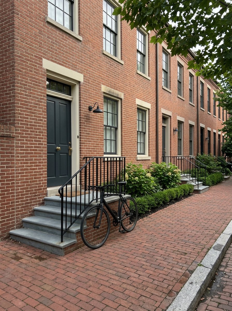
Old Town offers a walk-first setting
Old Town is the clearest example of a walk-first environment in Alexandria. The City describes the King Street corridor as a beautified stretch from the Potomac River to King Street Metro Station, with daily maintenance and wayfinding intended to support walking, biking, and transit use.
Parts of this area are also intentionally designed for pedestrians. The City has permanently pedestrianized the 100 and Unit blocks of King Street and Strand Street, and it later voted to permanently pedestrianize the 200 block as well.
That is a strong sign that Old Town is not just easy to walk in. It is being shaped to function that way over the long term.
Del Ray centers on Mount Vernon Avenue
Del Ray is another important option for car-light living. The City describes Mount Vernon Avenue as the main street of the Arlandria and Del Ray neighborhoods.
This corridor is heavily used by pedestrians, bicyclists, transit vehicles, and automobiles. The City’s Complete Streets work here has focused on safer crossings, improved bus-stop access, ADA-related transit-stop upgrades, and stronger north-south bike connectivity.
If you are thinking about what daily life looks like without a car, that mix is valuable. It suggests a neighborhood where getting around does not depend on one single mode of transportation.
Best Areas for Car-Light Living
If your goal is to reduce or eliminate car use, the best fit is generally near Alexandria’s transit spine and walkable commercial corridors. Based on the overlap of rail, fare-free buses, the trolley, bikeshare, trails, and pedestrian-friendly streets, a few areas stand out.
These include:
- Old Town near King St-Old Town
- Del Ray around Mount Vernon Avenue
- Areas near Braddock Road
- Areas near Potomac Yard
- Areas near Eisenhower Avenue
That does not mean every block functions the same way. In a home search, small differences in distance to a Metro station, bus route, trail connection, or commercial corridor can have a big impact on how car-free a home actually feels.
What Buyers Should Consider
If you are shopping for a home in Alexandria with car-free living in mind, it helps to think beyond the listing itself. A beautiful condo or townhouse may not feel convenient if it is too far from the transit and service network you expect to use every day.
As you compare options, consider questions like these:
- How close is the home to a Metrorail station?
- Is there easy access to DASH routes?
- Can you comfortably walk to shops, dining, or everyday services?
- Are there nearby trail or bikeshare connections?
- Would a car-light setup work better than fully car-free for your routine?
For many buyers, the answer is not all or nothing. Alexandria can support a lifestyle where you walk, bike, and ride transit most of the time, while keeping occasional backup transportation for less frequent needs.
Why Local Guidance Helps
Car-free living is highly location-specific, even within a compact city like Alexandria. Two homes may share the same ZIP code but offer very different daily routines depending on their access to Metro, buses, trails, and walkable streets.
That is why local guidance matters during your search. Understanding how a neighborhood functions day to day can help you choose a home that supports the lifestyle you actually want, not just one that looks good on paper.
If you are weighing Alexandria against other DMV communities, or trying to narrow your search to the areas that best fit a car-light routine, Pearlman Meekin & Co. can help you evaluate neighborhoods with a practical, on-the-ground perspective.
FAQs
Is Alexandria, VA a good city for car-free living?
- Yes. Alexandria has a layered transportation system that includes five Metrorail stations, fare-free DASH buses, the King Street Trolley, Capital Bikeshare, and a substantial trail network.
Which Alexandria neighborhoods are best for car-light living?
- Old Town, Del Ray, and areas near Braddock Road, Potomac Yard, and Eisenhower Avenue stand out because they combine transit access, walkable corridors, and bike or trail connections.
Is DASH free in Alexandria?
- Yes. DASH eliminated fares in 2021, and that fare-free policy remains in effect.
How useful is the King Street Trolley in Alexandria?
- It is especially useful in Old Town because it runs daily every 15 minutes between King Street-Old Town Metro and City Hall/Market Square, helping connect residents and visitors to the waterfront and neighborhood amenities.
Are Alexandria trails practical for daily transportation?
- Yes. Trails like the Mount Vernon Trail, Potomac Yard Trail, and Four Mile Run Park Trail can support both recreation and practical local travel, depending on where you live and where you need to go.
Is fully car-free living realistic everywhere in Alexandria?
- Not necessarily. In many parts of Alexandria, car-light living may be more realistic than fully car-free, especially if you want backup options for longer or less frequent trips.